Environment

Spatially refined satellite gravimetry captures human signatures in global terrestrial water storage trends.

| Source: Proceedings of the National Academy of Sciences of the United States of America

Human activities have directly altered the water cycle through water management, aquifer pumping, agricultural irrigation, and land use change. Although satellite gravimetry has transformed global hydrological research, its coarse resolution limits attribution of freshwater change to human activities at many management-relevant scales. Here we assessed global terrestrial water storage (TWS) trends from April 2002 to November 2025 using "stacked" regression of Level-1B intersatellite ranging data

Human activities have directly altered the water cycle through water management, aquifer pumping, agricultural irrigation, and land use change. Although satellite gravimetry has transformed global hydrological research, its coarse resolution limits attribution of freshwater change to human activities at many management-relevant scales. Here we assessed global terrestrial water storage (TWS) trends from April 2002 to November 2025 using "stacked" regression of Level-1B intersatellite ranging data, which leverages temporal information and variability to dramatically improve effective spatial resolution relative to standard approaches. We combined this refined product with rigorous uncertainty analysis, autocorrelation-robust geostatistical methods, and literature assessment to evaluate TWS trend associations with land and water use, climate variability, and glacial mass loss. We identified 40 TWS trend hotspots exhibiting significant spatial associations with anthropogenic drivers, including groundwater and surface-water irrigation, rainfed agriculture, deforestation, and reservoir impoundment. Across these regions, cumulative TWS losses (3,122 Gt) substantially exceeded gains (2,432 Gt). Compared with traditional regression of monthly mascons, our approach yielded regional trend magnitudes that are on average 33% larger, revealing that global freshwater depletion, particularly from groundwater pumping, is considerably more acute than previously estimated. Multivariate regression models show that humans account for a significant share of the spatial variability in TWS trends on every nonpolar continent except Australia. We detected localized TWS gains linked to rainfed agriculture, surface water irrigation, and reservoir filling that were unresolved in earlier gravimetric studies. The methodology provides a foundation for future gravity missions to independently track decadal freshwater change with unprecedented spatial fidelity.
Read the original source →

Related Stories

Environment

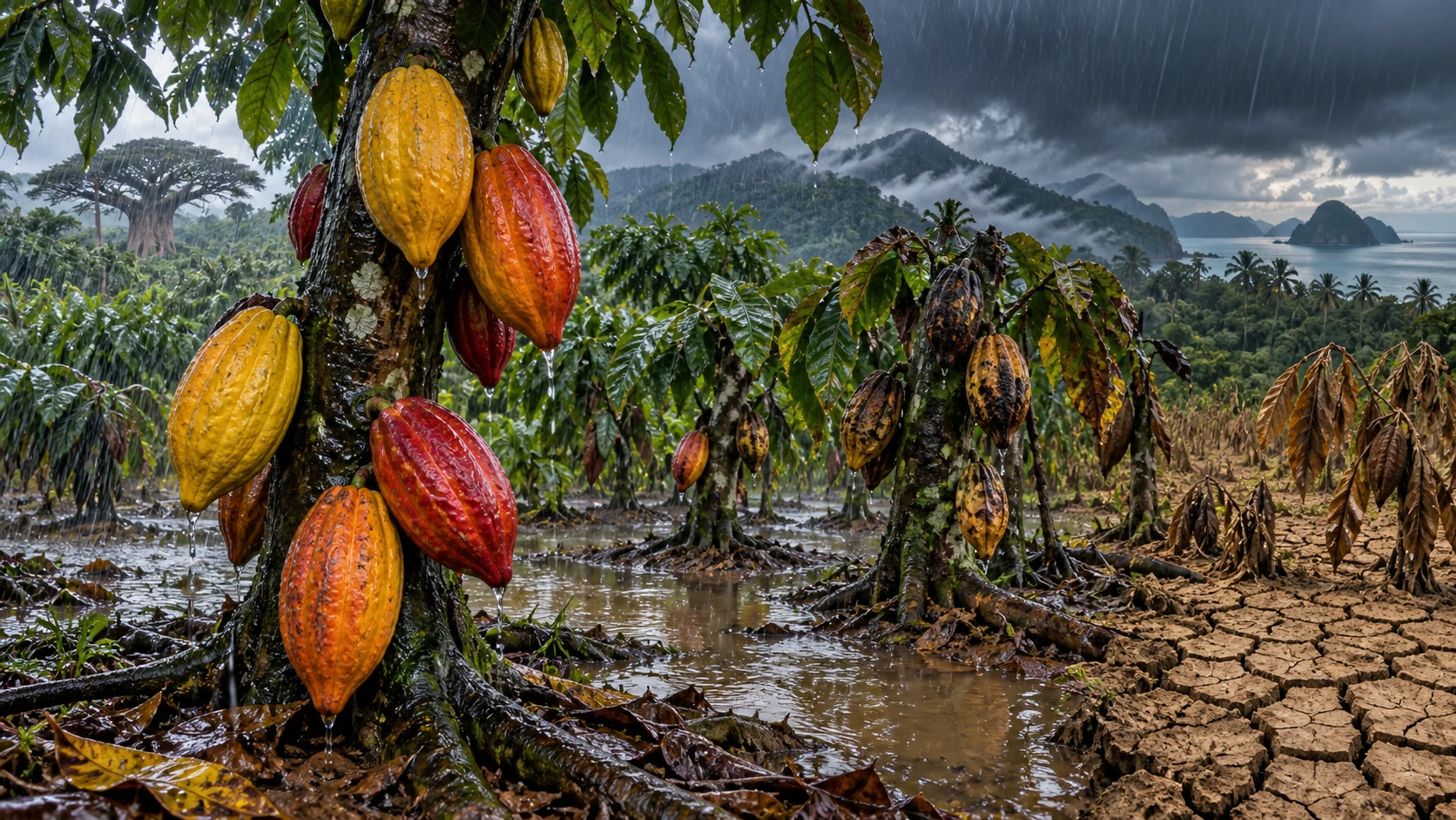
Rainfall extremes drive cocoa yield losses across the tropics.

There is a growing need for human-centered weather and climate forecasts that provide actionable information to farmers and other stakeholders. Cocoa, which sustains the livelihoods of nearly six million smallholder farmers, illustrates this need: Recent production shortfalls have threatened incomes, yet their underlying causes remain unclear, with explanations invoking both climatic and nonclimatic factors. Here we show that heavy rainfall, rather than temperature or mean water availability, is

Continue reading
Environment

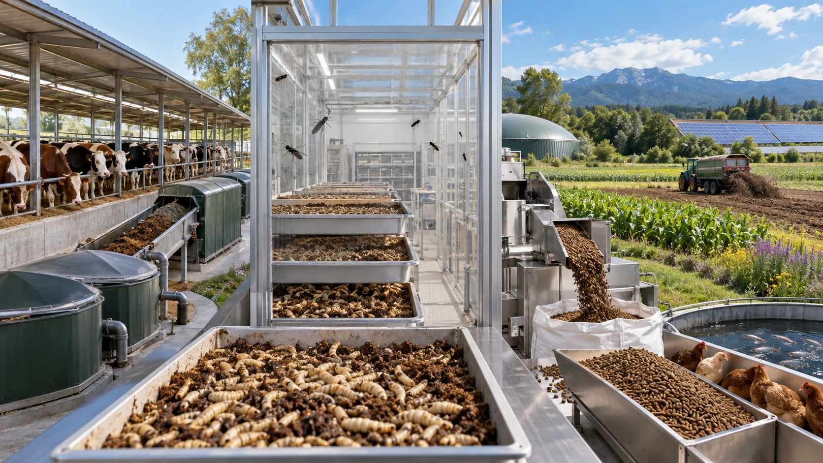
Manure to insect farming for feed mitigates nitrogen and greenhouse gas emissions.

Livestock manure is nutrient-rich and represents a promising feedstock for insect farming, with insect protein offering a high-quality alternative to conventional crop-based livestock feed. This pathway has substantial potential to mitigate nitrogen (N) and greenhouse gas (GHG) emissions from livestock systems. Here, we integrate global livestock models with trade, land-use, and cost-benefit analysis to quantify the environmental and economic implications of manure-to-insect conversion while ens

Continue reading
Environment

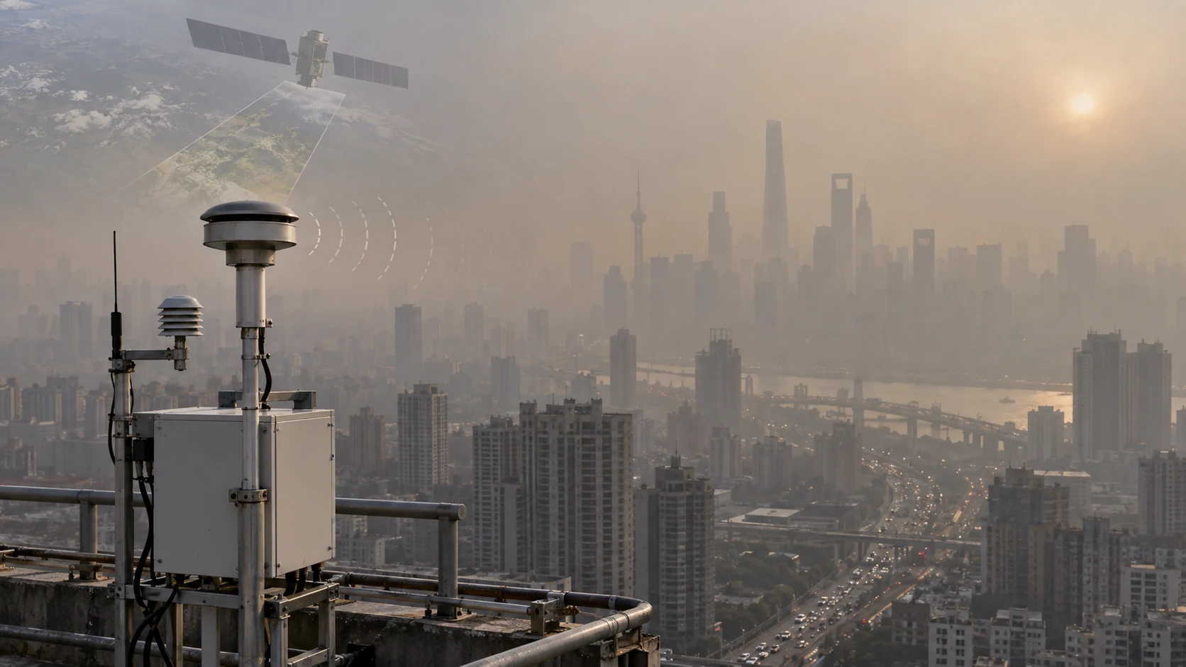
Air pollution after the shutdown of US embassy monitoring.

For more than a decade, US embassies and consulates provided independent, publicly accessible air-quality information in cities worldwide. In 2025, this program was abruptly suspended, generating sharp drops in the availability of trusted pollution information. We evaluate the consequences of this change using real-time satellite-derived aerosol optical depth (AOD) and a matched difference-in-differences design with same-country control cities. Across 46 cities, we find no systematic trends prio

Continue reading
Environment

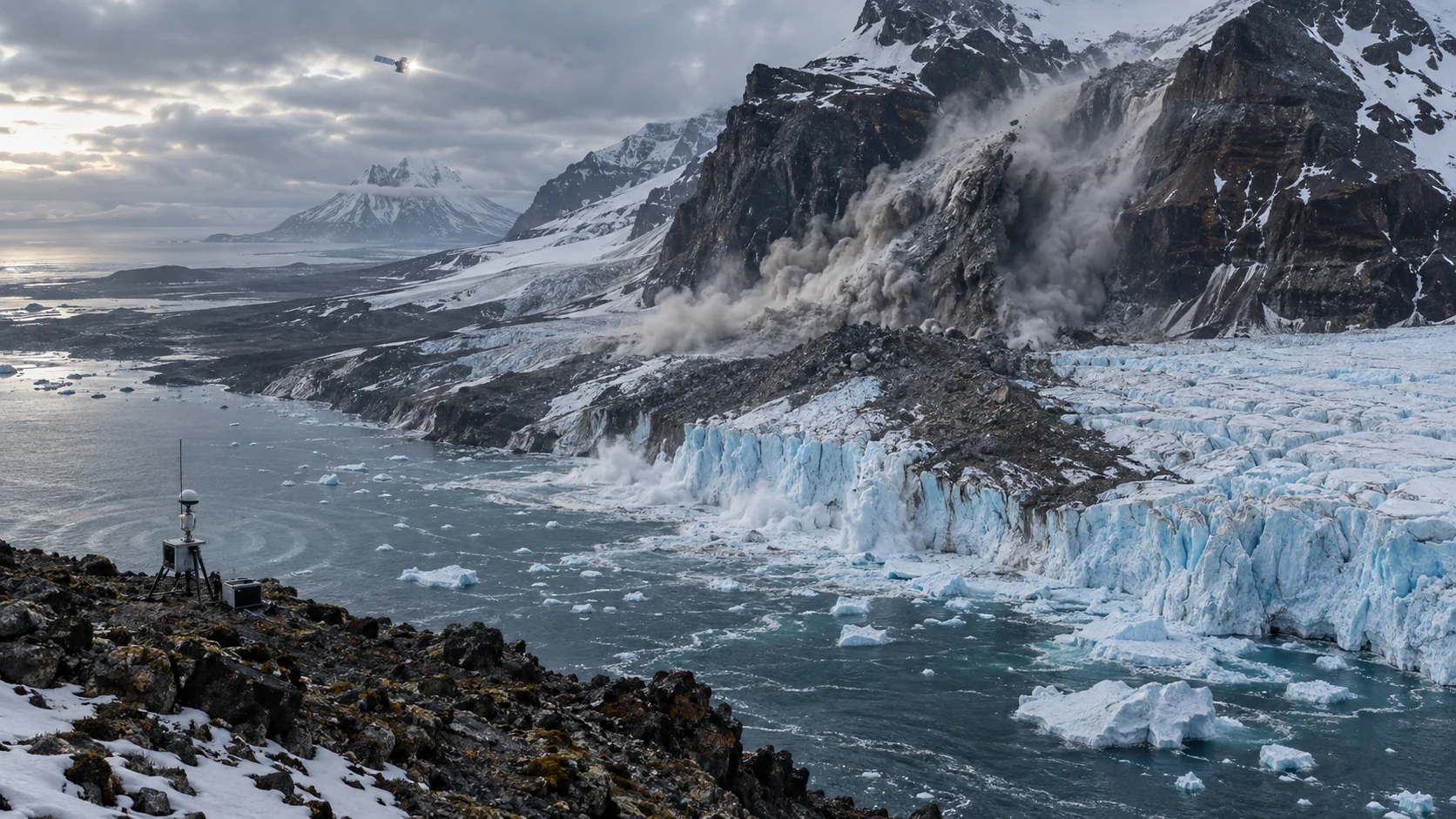
Earthquake-triggered cascading hazards under Arctic amplification.

Arctic warming is reshaping permafrost and glacierized terrains, potentially changing their natural hazards in response to seismic shaking. On 10 March 2025, a Mw 6.5 oceanic transform fault earthquake near Jan Mayen Island in the Arctic Ocean triggered a large rock avalanche that buried part of the Kjerulf Glacier, generating infrasound signals and glacier calving. Using seismic, Global Navigation Satellite System data, infrasound records, satellite imagery, and long-term climatological records

Continue reading
Environment

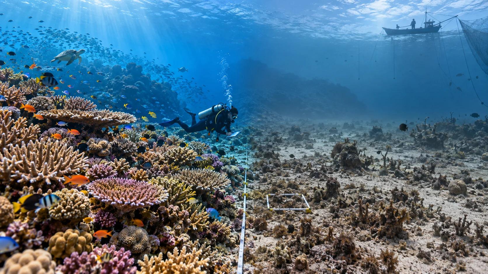
At least a fivefold gap in effective global marine protection.

The Convention on Biological Diversity's ambitious target to "effectively conserve" 30% of the world's oceans in protected areas by 2030 risks being undermined by a primary focus on total area protected rather than realized conservation outcomes. Area-based assessments can overstate success because few marine protected areas (MPAs) possess strong restrictions and high compliance. Here, we estimate the extent that conservation outcomes are realized across the global MPA network for shallow reefs

Continue reading